Introduction
A short walk around the historic sights of Pocklington.
Walk Route
- what3words for start point: ///glassware.sunk.mainly
- Distance: 1 Miles
- Start Location Name: Regent Street (near the junction with New Street)
- Finish Location Name: On Railway Street, near the Pocela Centre
OS Route Map & GPX Download
The Ordnance Survey map below shows the full walk route, in pink. You can use this (try the full screen mode) on your smartphone to guide you where to go.
Download file for GPSDownload the GPX file for your GPS navigation device using the pink link above, and you’ll be able to use this walk on your own devices.
Walk Description
You need the ‘What Was Here?’ app to access this heritage trail.
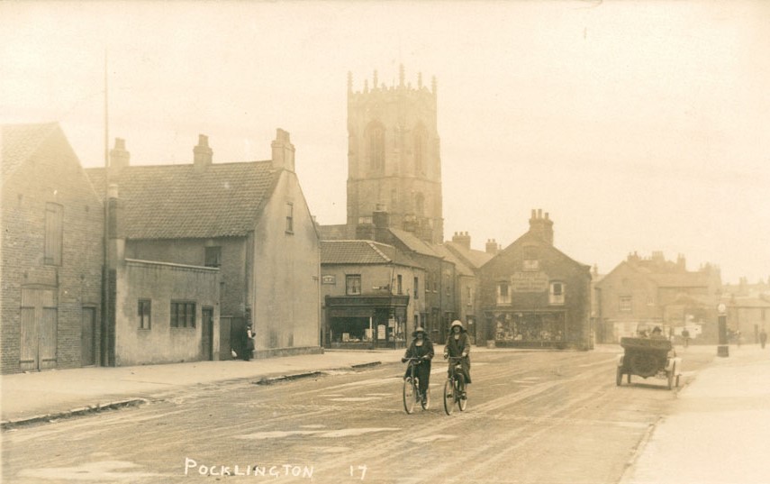
Add a bit of history to your time in Pocklington and use the archive images to peep into the past and see what some parts of the town looked like in years gone by.